A couple of days ago I voyaged through the eastern alpine area of Switzerland, a place less known and quite exclusive. The following photos are in chronological order and focus mainly on the Romansh-speaking Swiss canton of the Grisons or Graubünden.
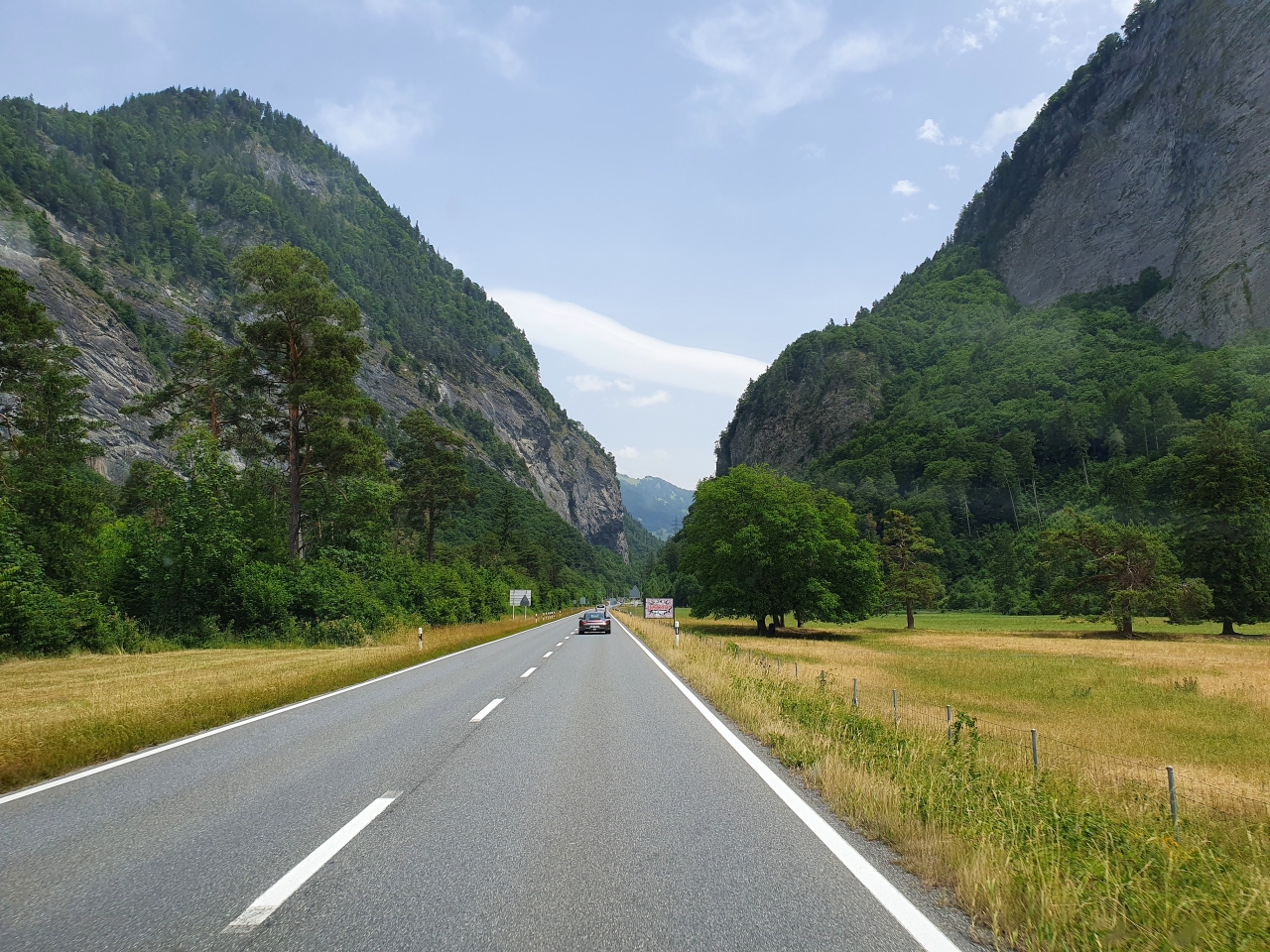
Our voyage begins when we leave the typical road from Zürich to Liechtenstein, and we head to Chur. At Landquart we enter the Graubünden canton and go straight to the high mountains, towards Davos.
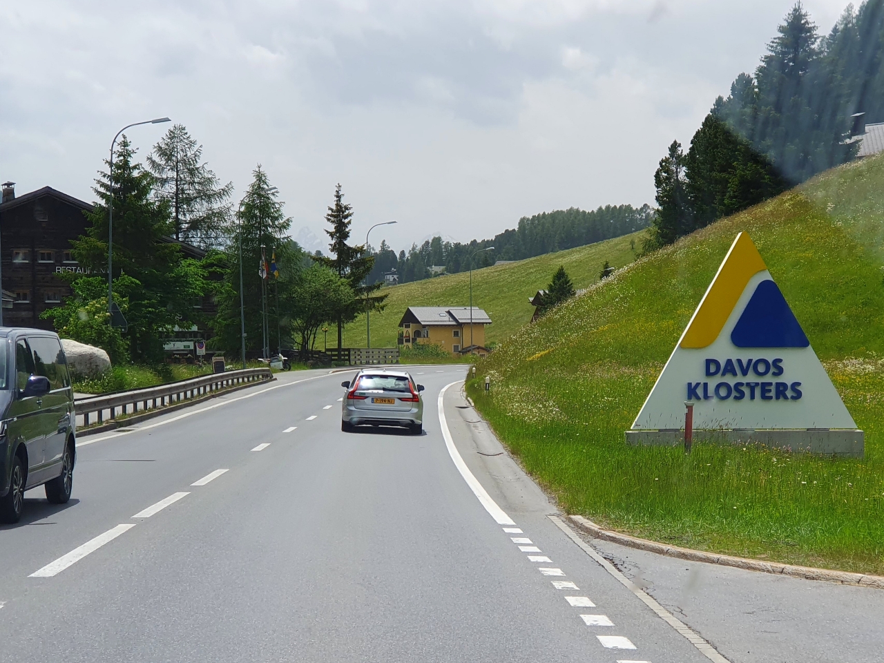
Davos is probably the most famous place in the entire area, home of the World Economic Forum “where the rich gather to socialize and get even richer”.
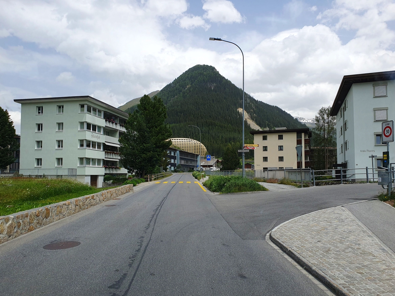
The Davos area is quite remote, almost deserted, a bit abstract. In the center you can see the AlpenGold Hotel, a 5-star “fat” UFO-shaped golden hotel. A bit kitsch if you ask me, but anyway…
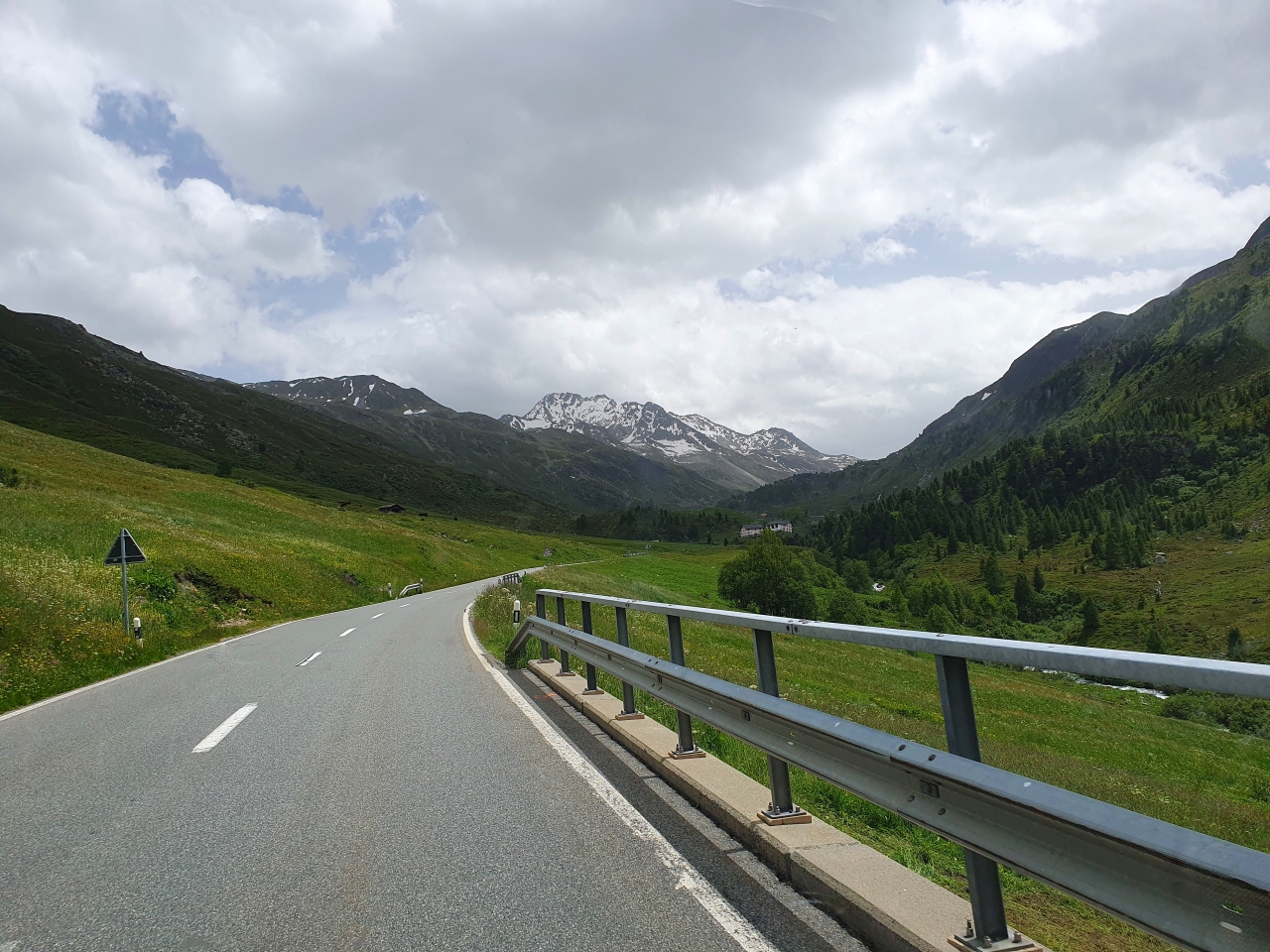
From here we climb. A lot. Forests gradually disappear. We enter the alpine pastures. In the distance is the Tschuggenkapelle area.
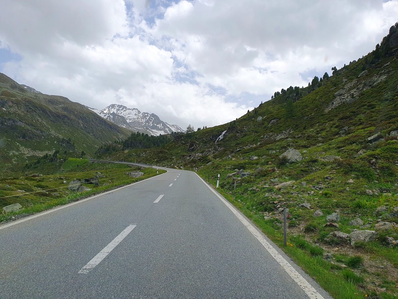
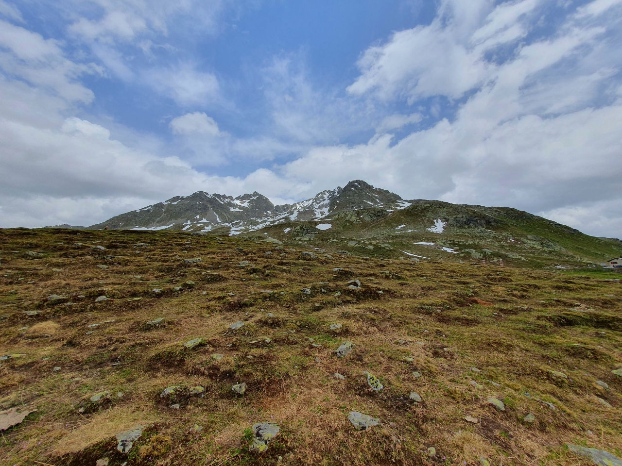
As we continue, there are many photography spots available.
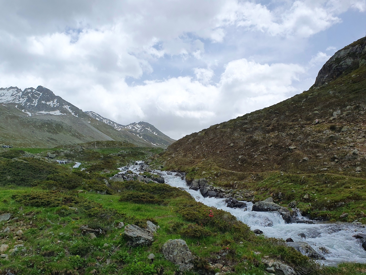
And cascades close to the road.
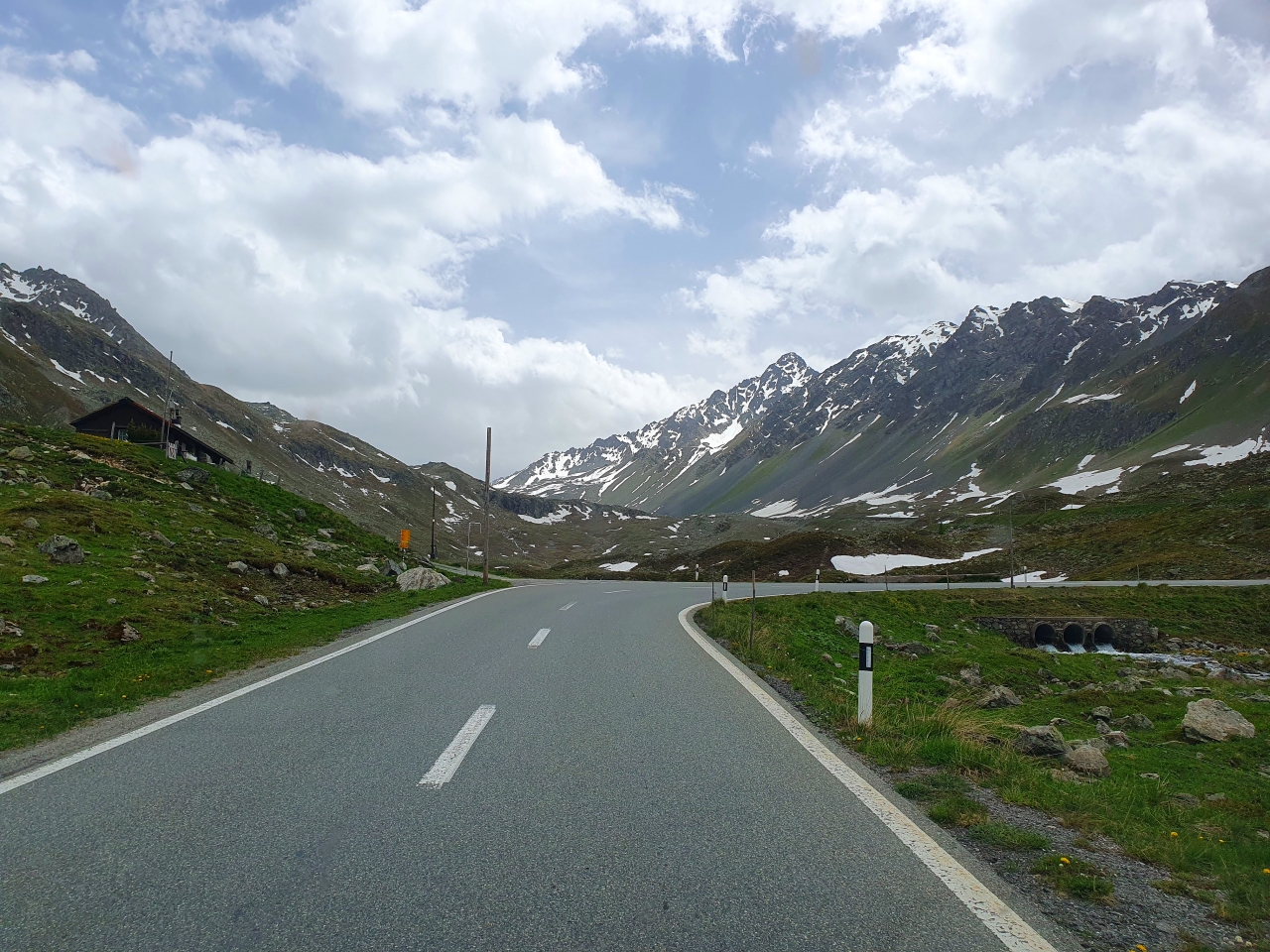
As weird as it might seem, this is a bus stop: the Wägerhus/Abzw. Jöriseen.
Obviously, we are in a pass, separating the Rhine and Danube hydrographic regions – the Flüelapass.
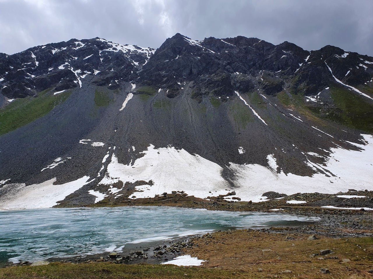
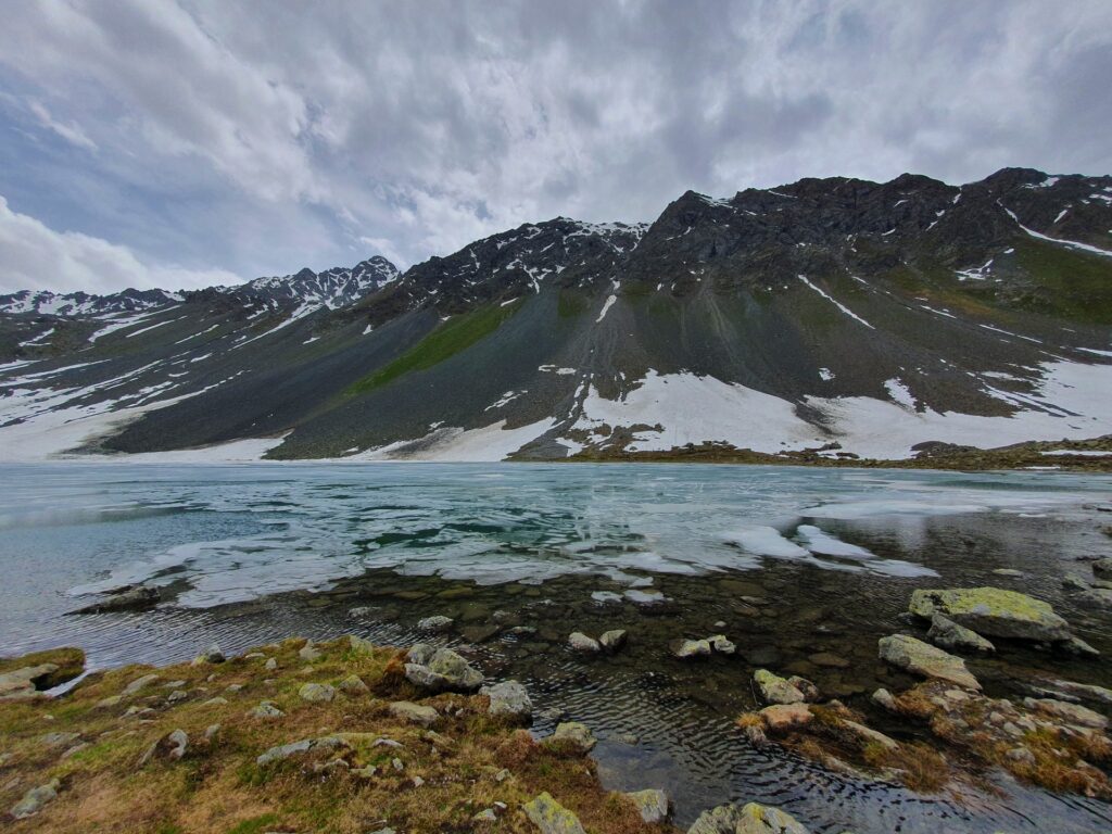
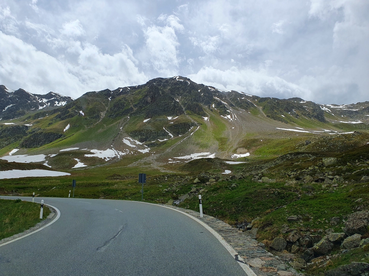
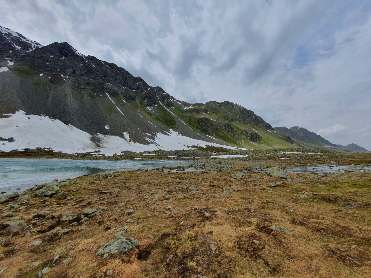
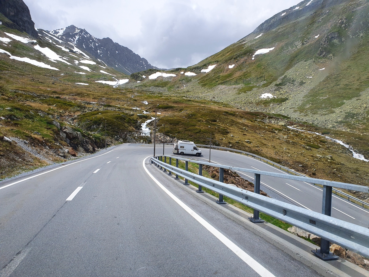
A stop is a must – the Schottensee Parkplatz. We are at the end of June but there is still snow everywhere.
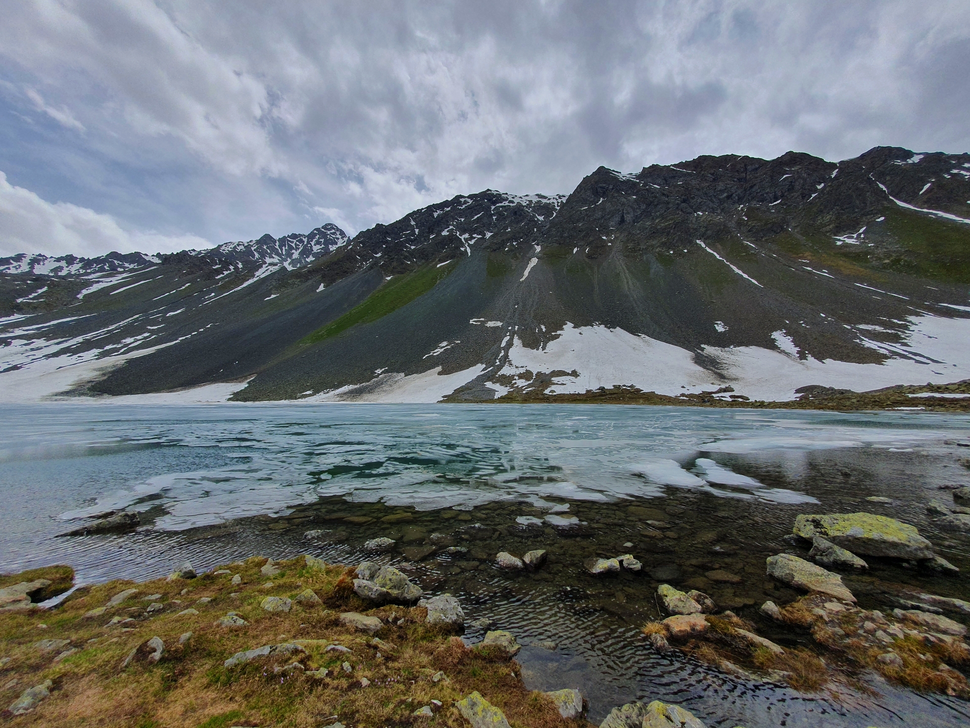
And yes, the lake is partly frozen. This is the Schottensee am Flüelapass or Lai da la Scotta, and it lies at 2374 meters of altitude.
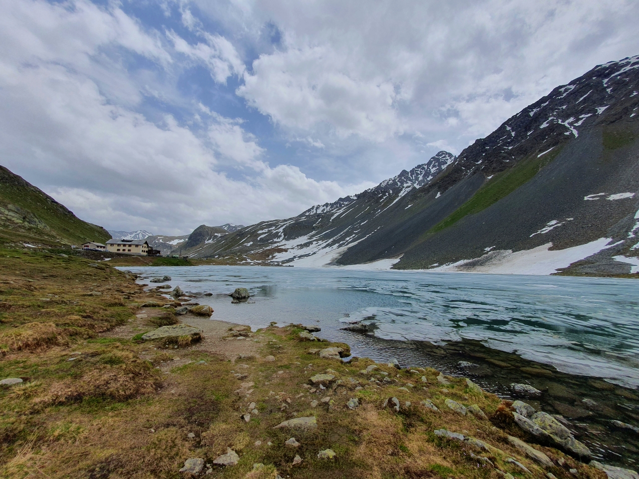
Next to the lake and to the left of the image lies Flüela Hospiz, a hotel. To the center-right of the image is the Flüela Schwarzhorn, a mountain peak of 3147 meters altitude.
Turning to the north is the Flüela Wisshorn, a mountain peak of 3085 meters altitude.
To the east is Sentischhorn at 2827 meters altitude.

Now, the hotel is quite close to the maximum altitude point of the Flüela Pass at 2384 meters. Behind the hotel and invisible in the image is the Schwarzsee or Lai Nair (the black lake); the maximum elevation of the pass is somewhere between these two lakes. And yes, I grabbed some snow; it is summer so I had to had that experience 🙂
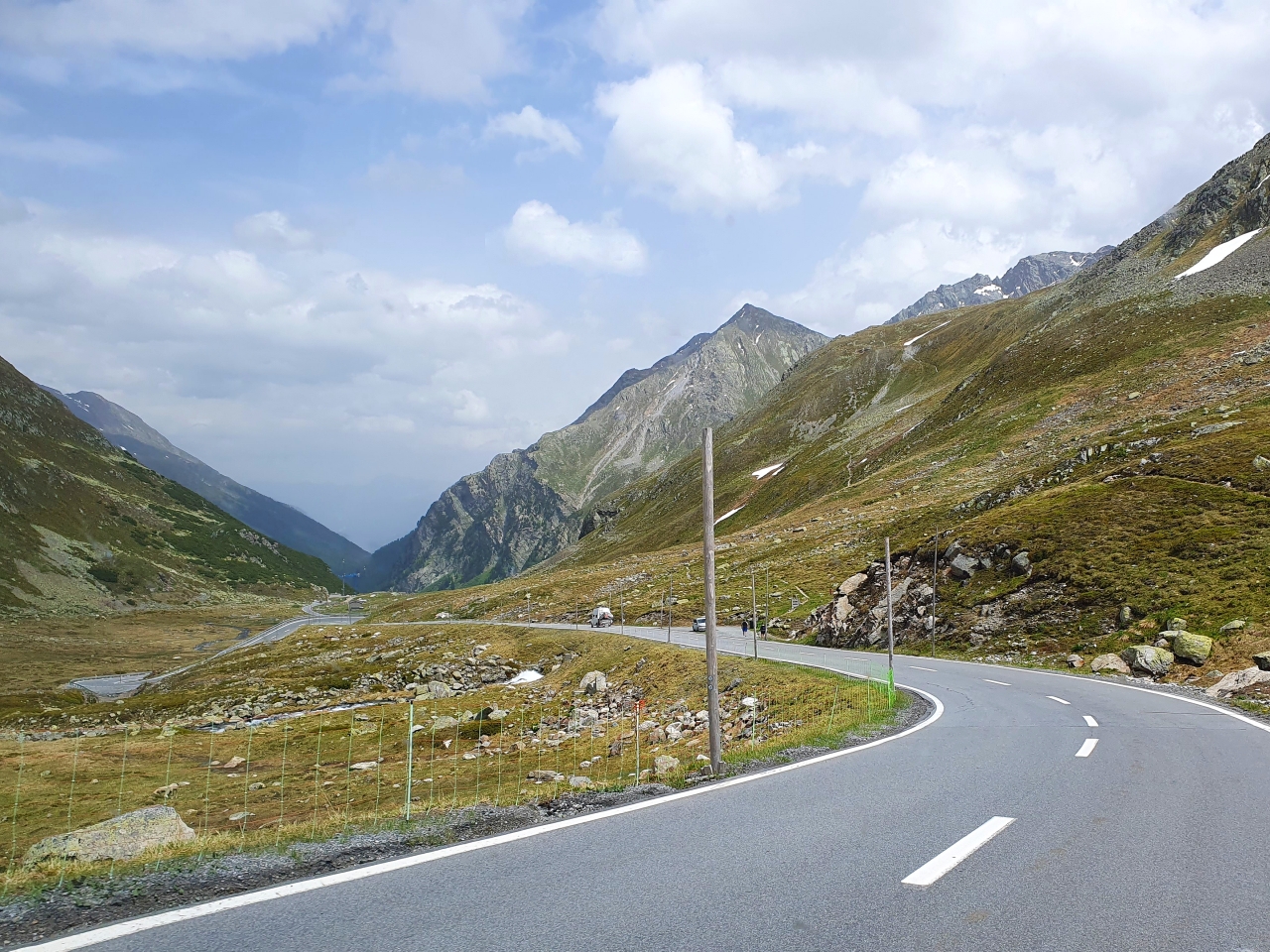
The road continues downward, along the Susasca River. It is steep.
Here is Ova da Radönt area, with cascades everywhere.
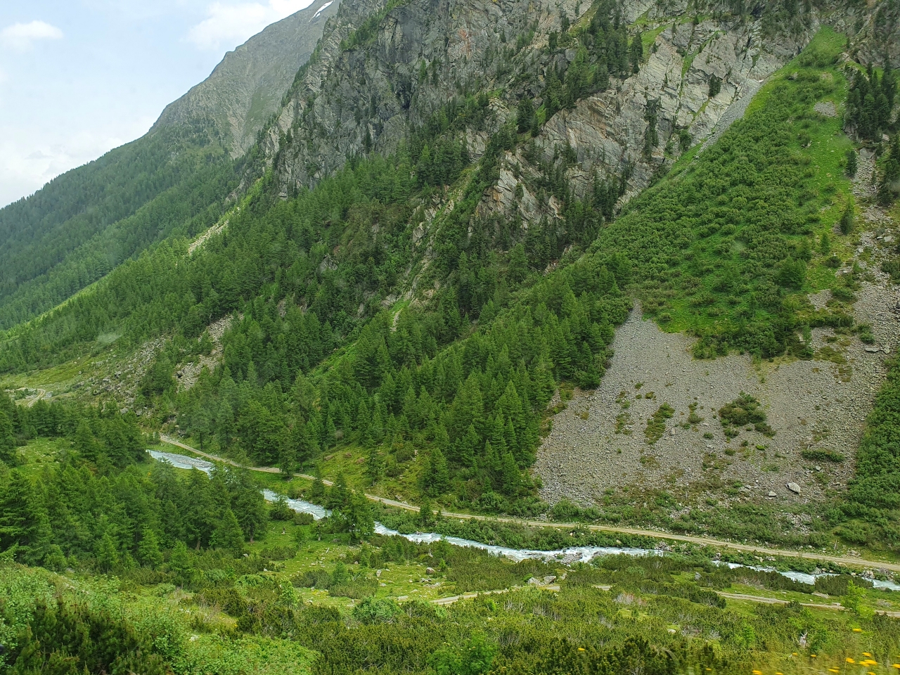
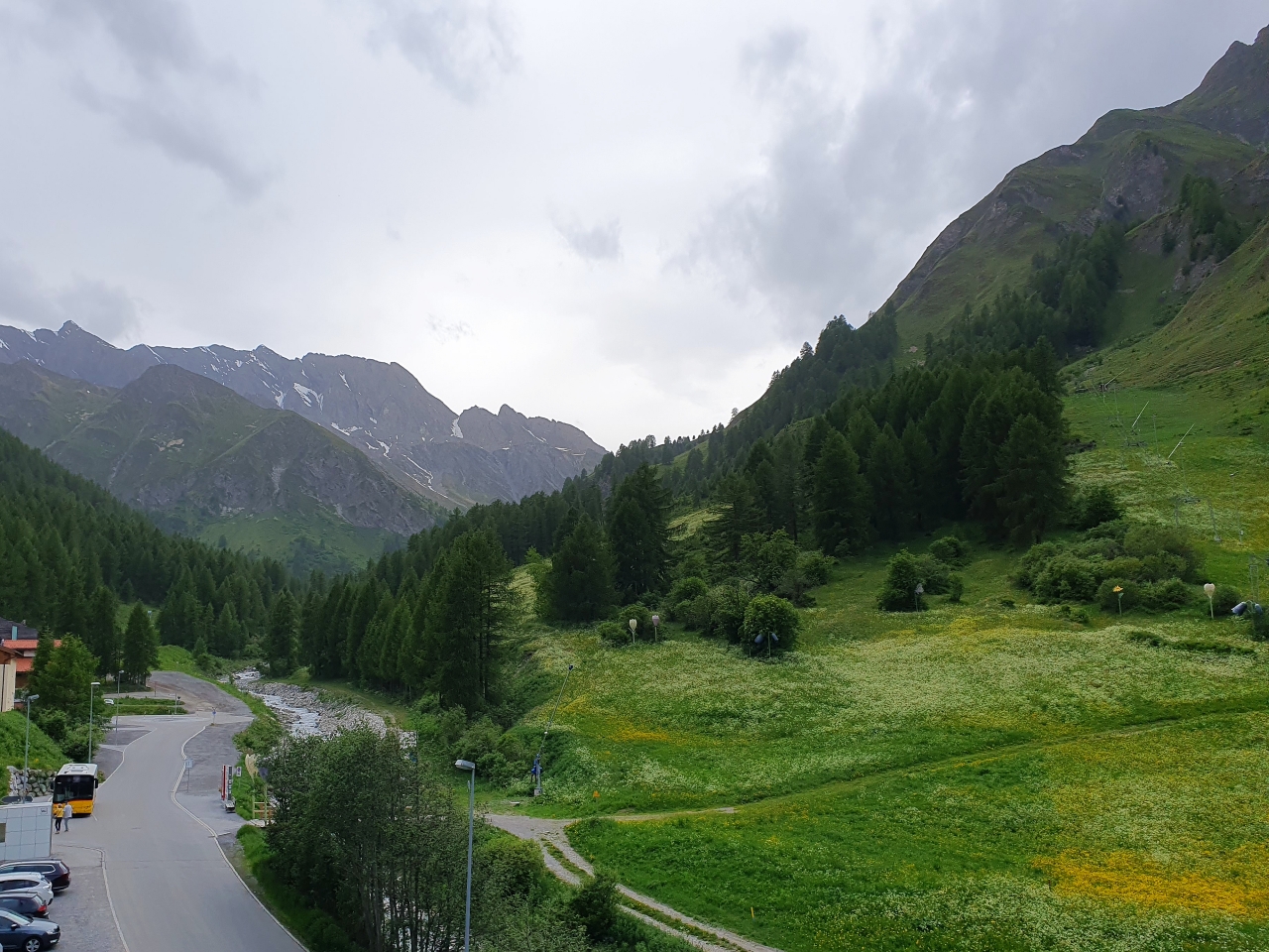
As we descent along the Susasca River, the Flüela Pass goes deeper and the forests return.
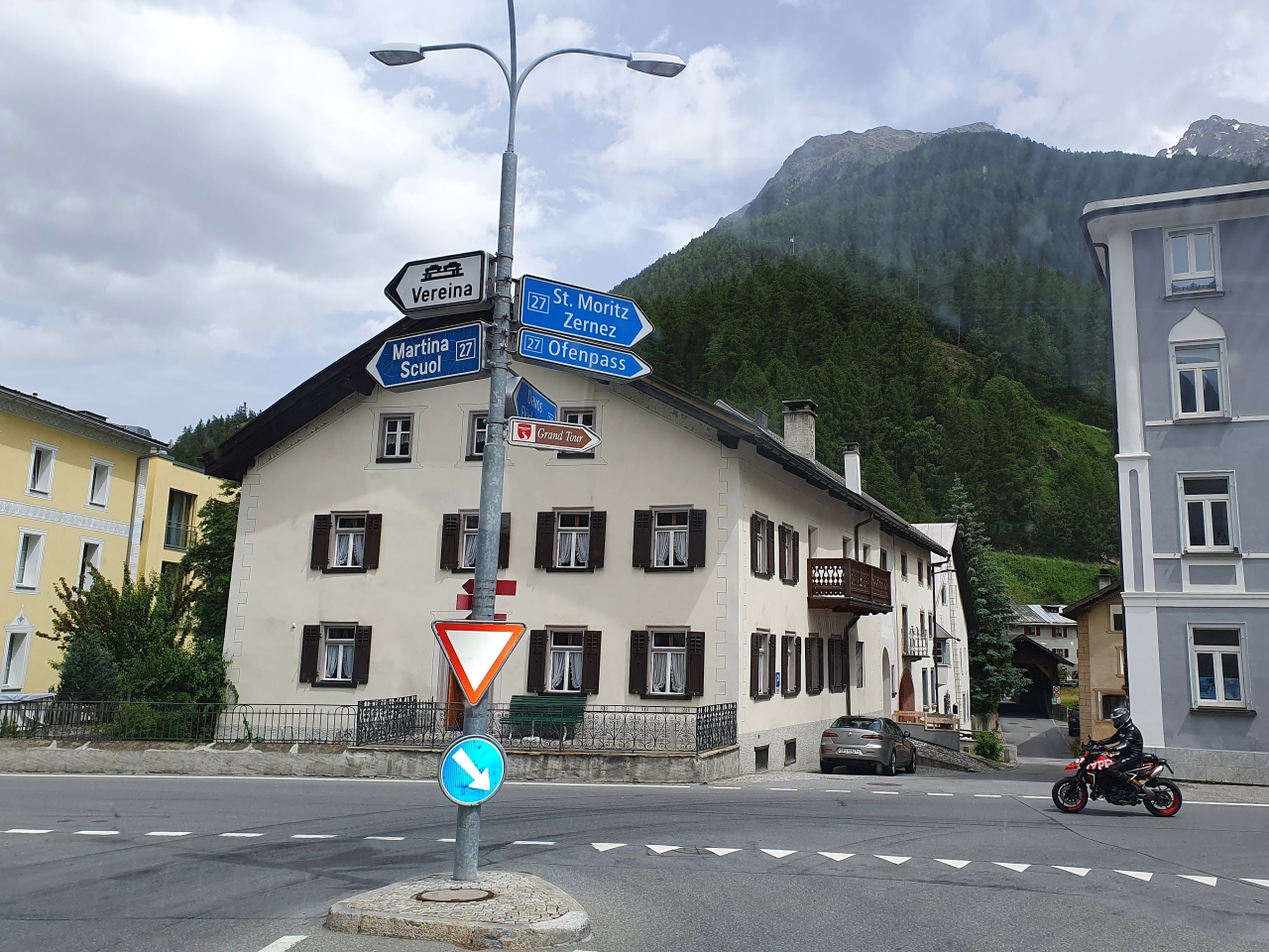
And here is the main crossroad in the village of Susch. Here the Susasca flows in the Inn River (yes, the one flowing through Innsbruck). We take it to the left, towards Scuol and the borders of Austria and Italy.
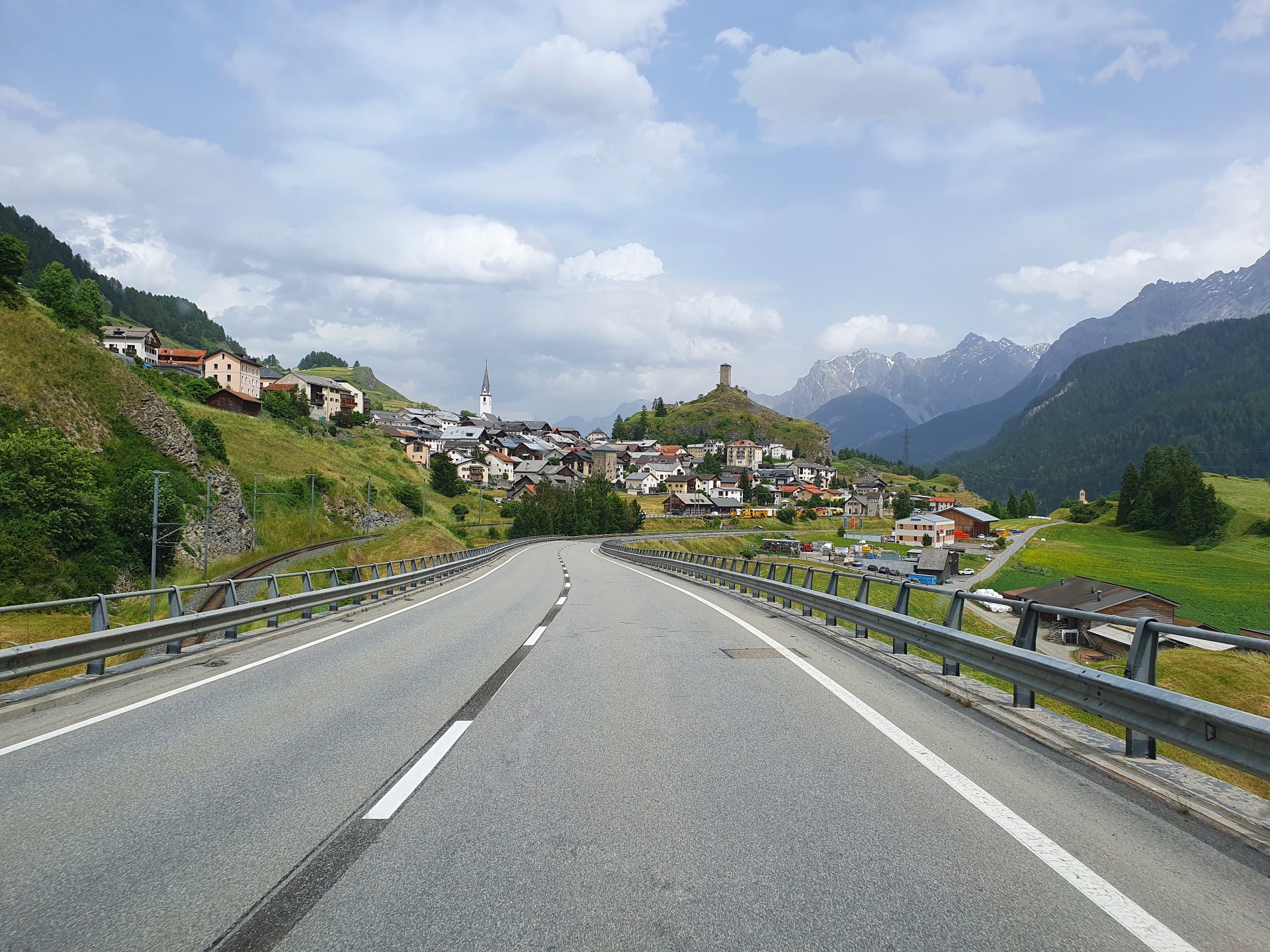
This is the village of Ardez and the Chastè Steinsberg (Steinsberg Castle). It’s from the 12th century. The photo shows little of the actual beauty of the place…
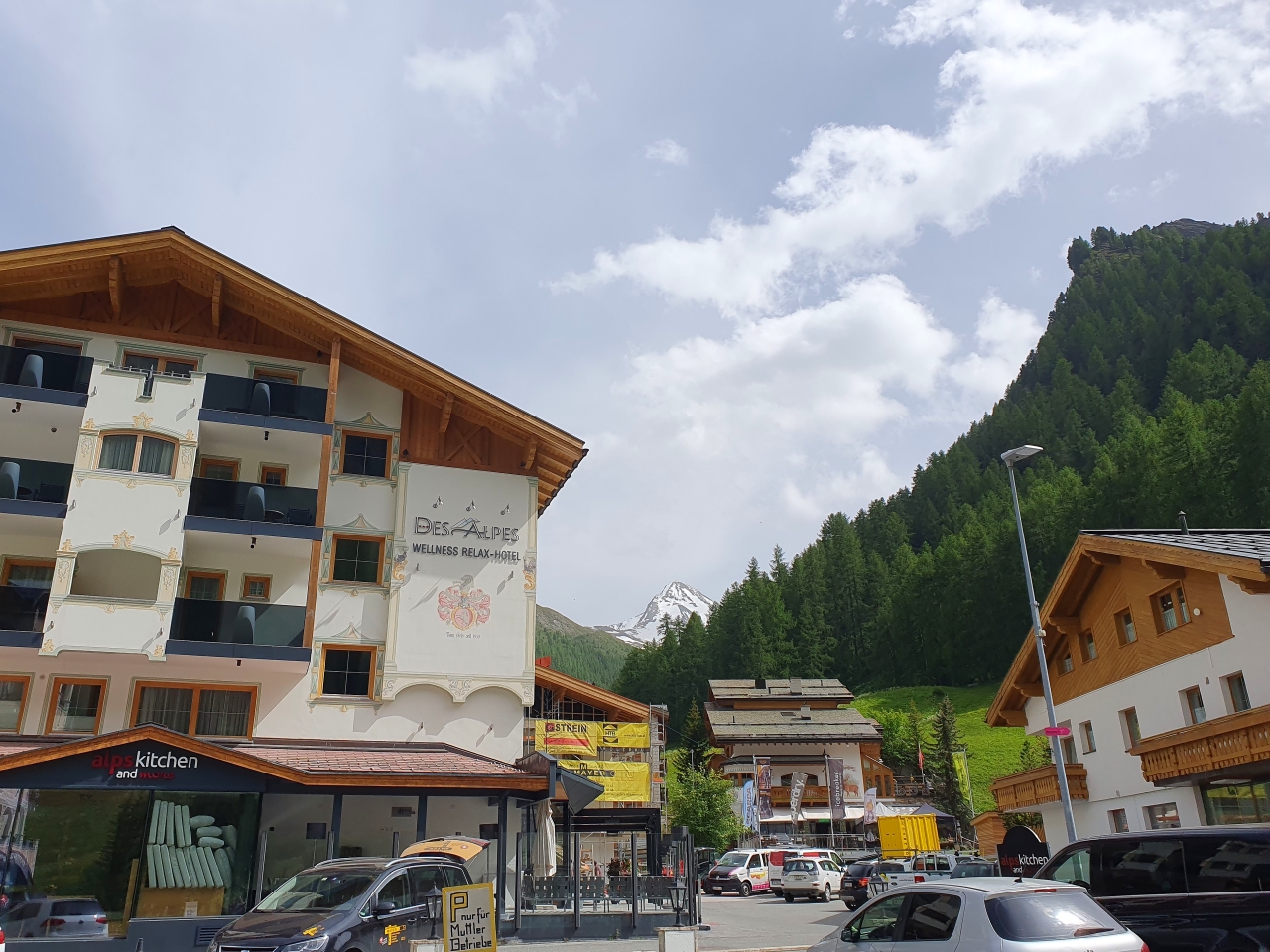
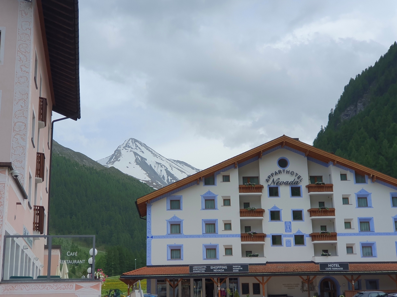
We’re still in Switzerland but somewhere hidden from the main roads. This is Samnaun, a village and ski resort.
A completely different, greenish mountain view, although we are still at around 1900 meters altitude.
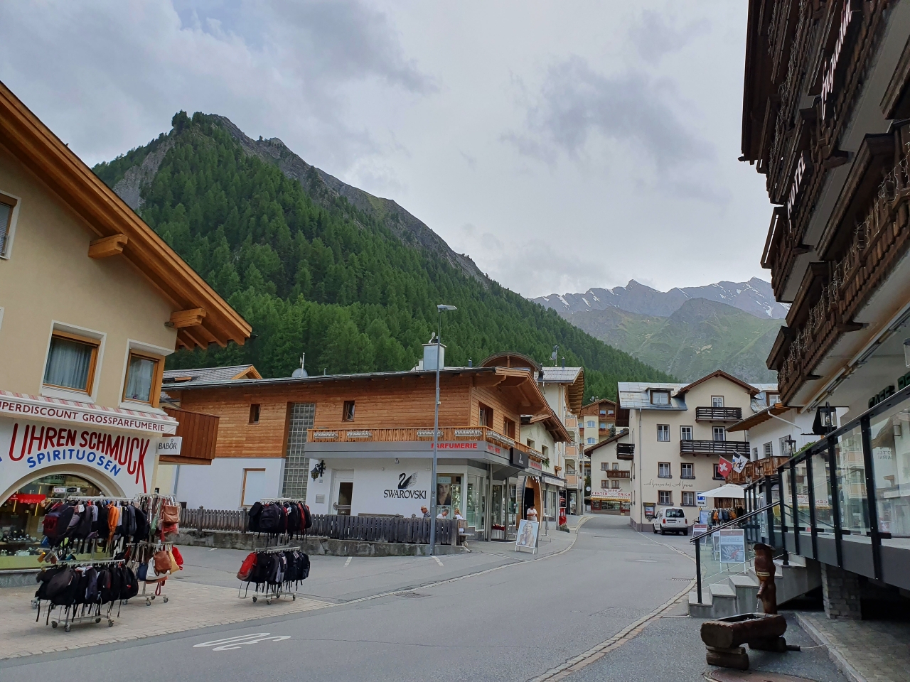
Having a walk, shopping area.
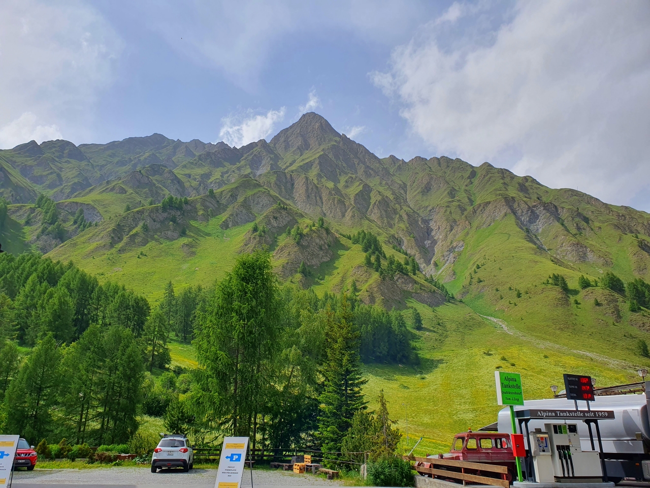
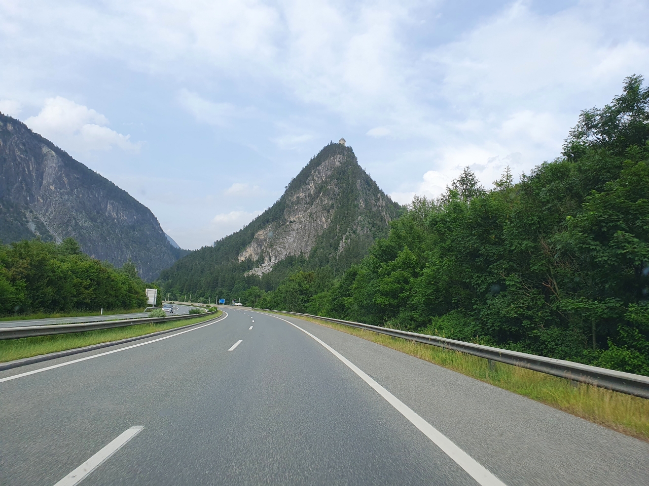
Schergenbach valley, looking towards the Piz Rots mountain peak.
The distinctive Muttler mountain peak at 3296 meters altitude.
We are in Tyrol, in Austria. The Kronburg Castle in Zams, built in 1380, concludes our journey.
Mystical Graubünden