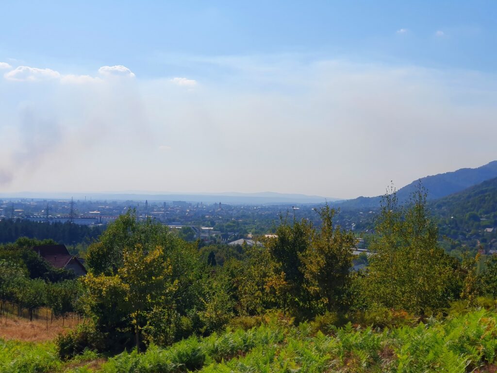
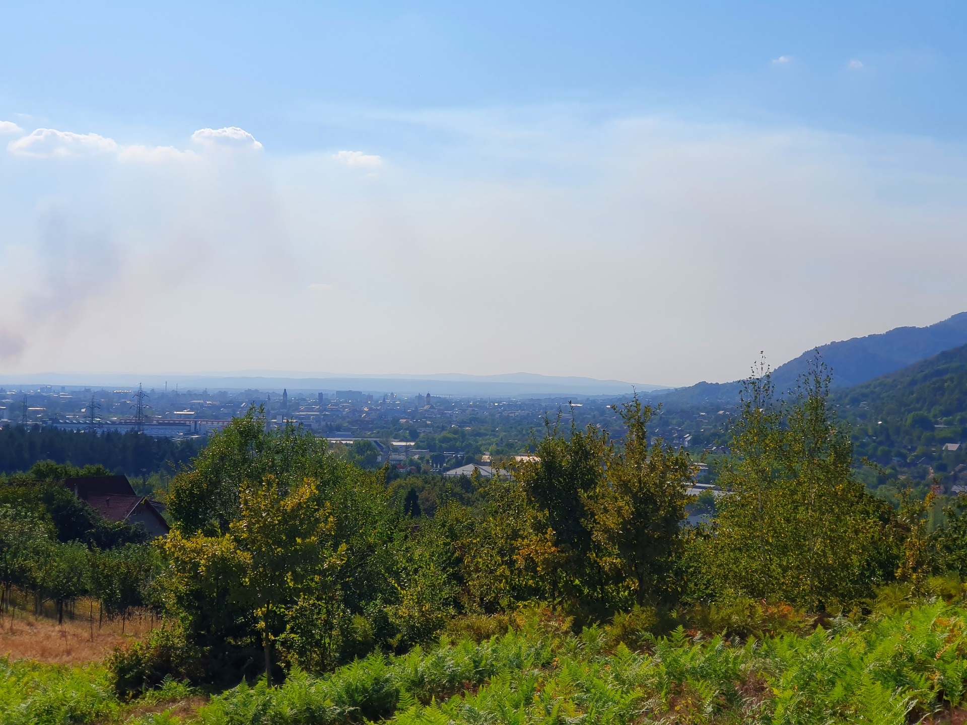
In this article you can see some views from the Bulat Hill (Dealul Bulat in Romanian, at a maximum altitude of 683 meters) towards Baia Mare (the city itself at an elevation of 228 meters above the sea level). As a “bonus”, my photos have also captured an enormous wildfire that has devoured an entire forest and has triggered the combined intervention of forces from five counties, including hundreds of firefighters.
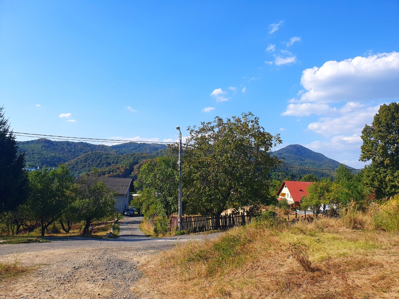
The place where the asphalt roads end.
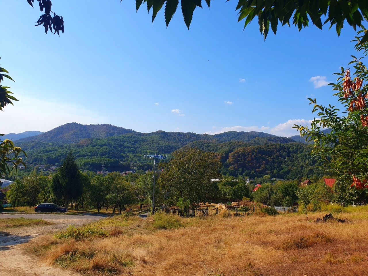
It is important to say that “hill” means, in fact, “mountain”. The entire region is mountainous and everywhere you look the landscape is made of ancient sleeping volcanoes.
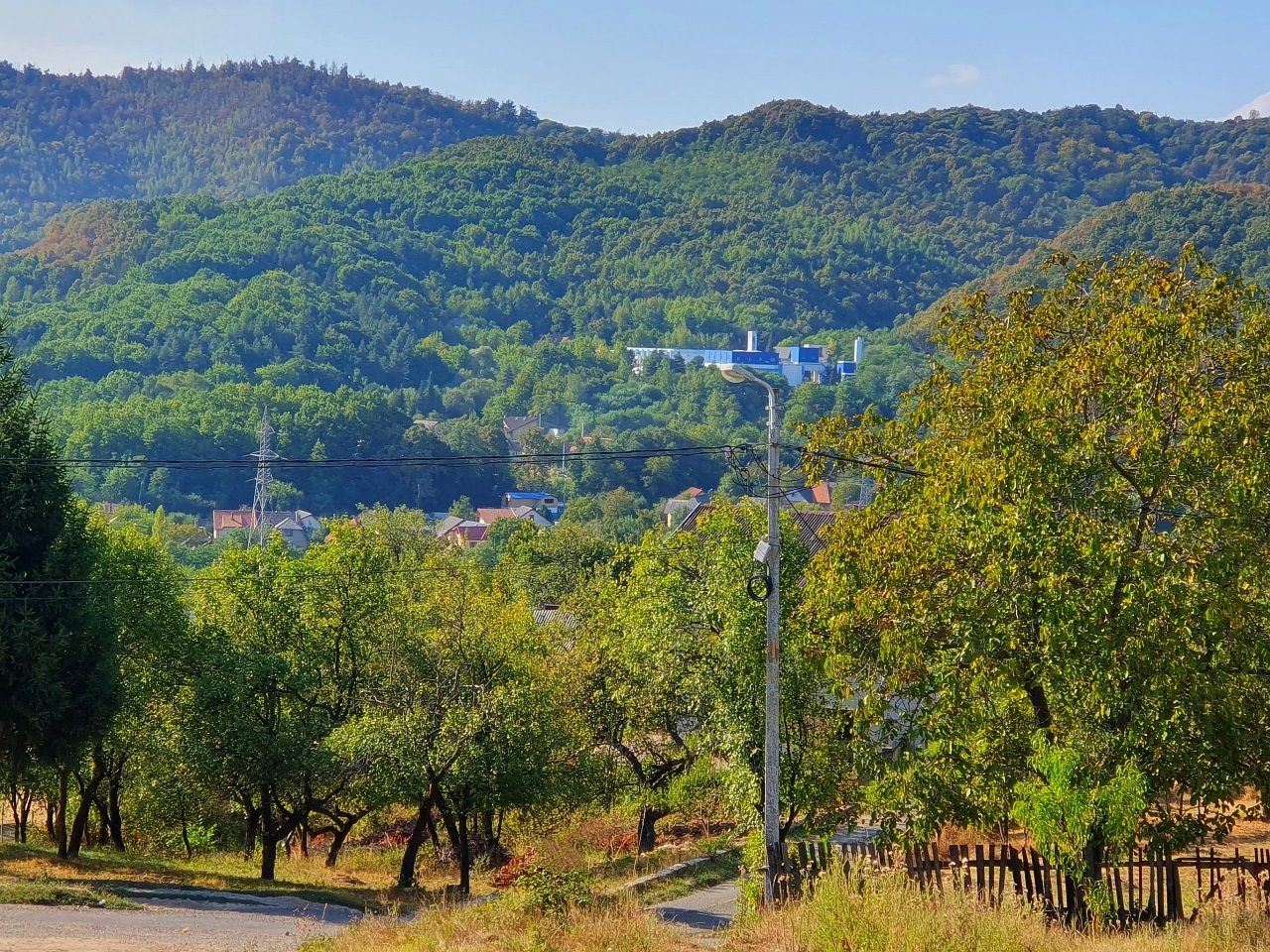
A detailed view of the opposite “hill”. The blue building complex in the middle of the image is the Baia Mare drinking water treatment plant (in short, the water plant or “uzina de apă” in Romanian). The building provides the drinking water for the city, and this water comes from a reservoir (lake) high in the mountains.
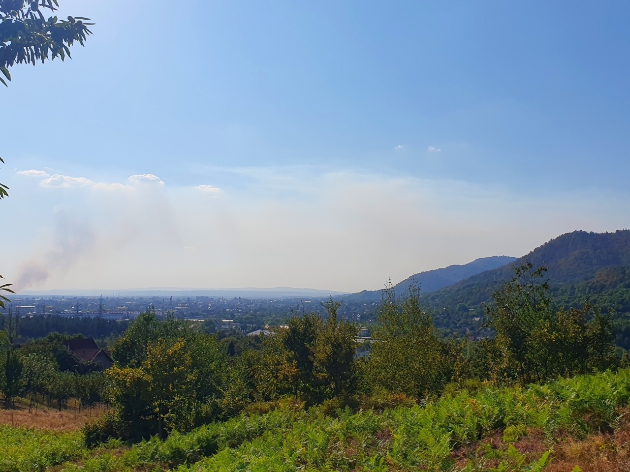
The cityscape and, to the left, the blaze next to the road towards Cluj-Napoca. Apparently, it was the biggest fire in the recent history of the region, destroying 7 houses and 500 hectares of forest (that’s an area of 5 square kilometers). Why? Extreme drought in the context of climate change and constant temperatures above 30 degrees Celsius.
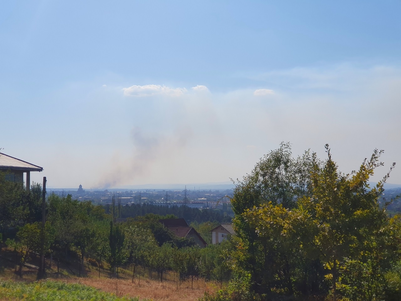
A detail with the wildfire, behind the silhouette of the Holy Trinity Orthodox Cathedral of Baia Mare.
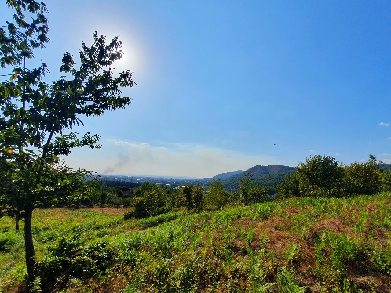
Climbing to the highest point. Ferns everywhere.
Nagybánya from Bulat Hill